How Our Maps are Made
Our lake maps are very unique and take many hours of work before they are ready for your wall. Creating the map is a complicated process, half art, half science, with the end goal of creating a highly detailed map that also looks beautiful. Our maps can be admired from across the room, or from inches away. We believe that a 5 second glance or a 5 minutee analysis should be equally enjoyable in thier own way.

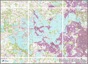
Before

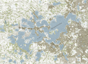
After
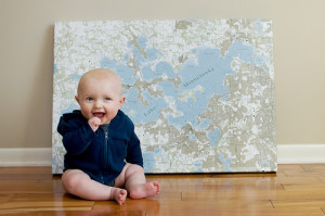
The maps are created on the computer, printed onto canvas, and then framed by hand. The background files we use for the land are were originally hand drawn as well. We take those images and bring them back to life.
